
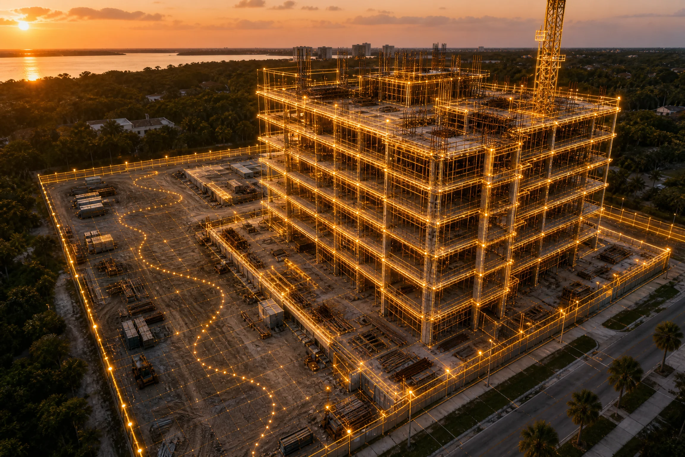
Construction Progress Documentation
Weekly, bi-weekly, or monthly flights on an identical flight plan, so each map lines up with the last one. Every visit produces a dated RTK orthomosaic, an edited photo set from the same eight vantage points, and a short flyover clip for the owner update. Files land on a private link your PM, owner, and lender can all open.
GeoTIFF and PDF by default, DXF or LAS on request. Extended online retention is available as a line item, and the first 60 days are included.
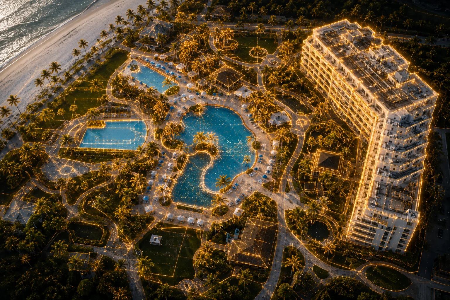
Mapping, Measurement & 3D
A measurable, to-scale map of your entire site, built from hundreds of overlapping aerial images. Orthomosaic maps, elevation views, 3D models, and stockpile volume measurements. delivered as standard files (GeoTIFF, PDF) plus a web link anyone on your team can open in a browser. No special software on your end.
For planning, documentation, and measurement. When a project calls for a licensed surveyor, we work alongside yours.
Area takeoffs for landscape and site contractors
Fifty acres of sod, beds, pavers, and edging takes a crew a day with a measuring wheel and produces a number nobody trusts. We fly it in a morning with network RTK, build a current orthomosaic at roughly one inch per pixel, and trace every area in GIS. You get the polygons as KML or DXF for your estimator, a CSV of square footage by category, and a marked-up PDF for the bid. If your bid is up against a satellite-based takeoff, ours shows the site as it is this week. A satellite tile shows it as of the last pass, which on new construction can be years old.
Roof, Facade & Infrastructure Inspections
A full exterior look at your property without renting a lift or putting anyone on a ladder. We fly the roofline, facades, mechanical decks, and hard-to-reach structure, then deliver an annotated photo report: what we saw, where it is, and the complete image set. as a PDF and a share link.
Built for maintenance planning, insurance files, board packets, and vendor scoping. You'll know what's up there before anyone climbs.


Post-Storm Condition Documentation
Dated pre-season baselines and fast post-event condition documentation, organized and timestamped. We fly the property after a storm and deliver a complete visual record of exterior condition: rooflines, facades, common areas, and any visible damage.
We document conditions. We don't handle claims.

Aerial Photo & Video
Marketing stills and edited video for property marketing, resort amenities, and business features. Shot to your spec, edited, delivered through a client gallery your team can download from directly.
Three Steps
Tell us the property
Send the address and the problem you're solving. We'll scope it and send a quote, usually within one business day.
We fly it
Scheduled around your site and your tenants. FAA Part 107 certified pilot, coordinated airspace, OSHA 30 trained, weather-smart scheduling.
You get a link
Reports typically within two business days of the flight. Maps and models within three to five, depending on site size.
Common Questions
No. IronPin Aerial provides aerial imaging and visualization. Our maps and models are for documentation and planning, not boundary determination or survey work. When a project needs a licensed surveyor, we're glad to work alongside yours.
Weekly, bi-weekly, or monthly, on the same flight plan every time. Bi-weekly fits earthwork and site prep. Monthly fits vertical construction and finishes. We set the cadence to match your reporting schedule.
Based in Orlando and serving properties across Florida. Central Florida, the coasts, and everywhere between.
Photo reports typically arrive within two business days of the flight. Maps and 3D models take three to five, depending on site size. If you need it faster, ask when you request the quote.
Florida weather runs the schedule. If conditions aren't safe or won't produce usable data, we don't fly. Re-flights due to weather are at no charge.
Yes. IronPin Aerial carries a dedicated aviation liability policy with $1 million in third-party coverage, and every flight is conducted by an FAA Part 107 certificated remote pilot. Certificates of insurance are available on request.
Our core work is commercial: associations, property managers, contractors, resorts, and businesses. That said, we take residential projects when the scope fits what we do, such as large properties, acreage, mapping, or construction documentation on private land. If you're not sure whether your project qualifies, give us a call.
Ready to put a drone over your property?
Tell us what you're working with. We'll respond within one business day.
Request a Quote